Services
Forest Diversion
Compensatory Afforestation (CA) refers to afforestation and regeneration activities carried out as a way of compensating for forest...
Engineering
It is the application of knowledge in the form of science, mathematics, and empirical evidence, to the innovation, design...
Remote Sensing
It is a closely aligned technology to photogrammetry in that it also collects information from imagery. The term is derived from the...
Photogrammetry
It is a closely aligned technology to photogrammetry in that it also collects information from imagery. The term is derived from the...
Information Technology
It is a system designed to capture, store, manipulate, analyze, manage, and present spatial or geographic data.These applications...
Welcome to Digital Cartography and Services (P) Ltd.
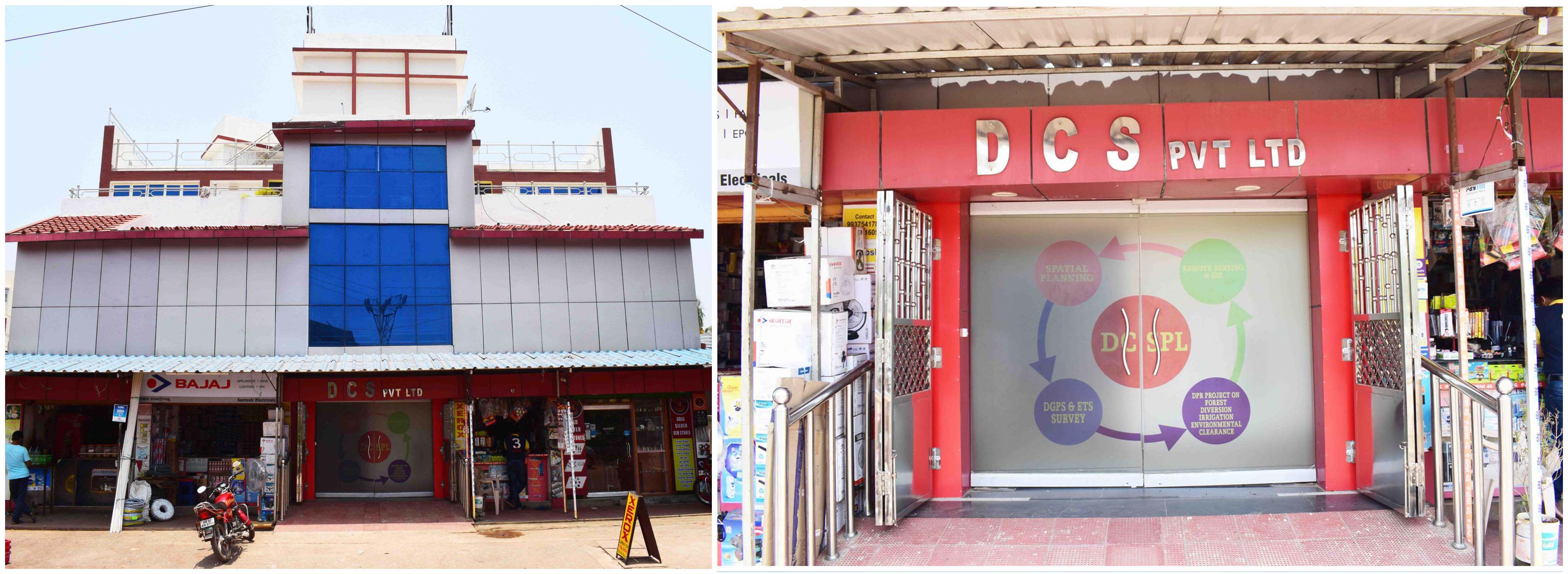
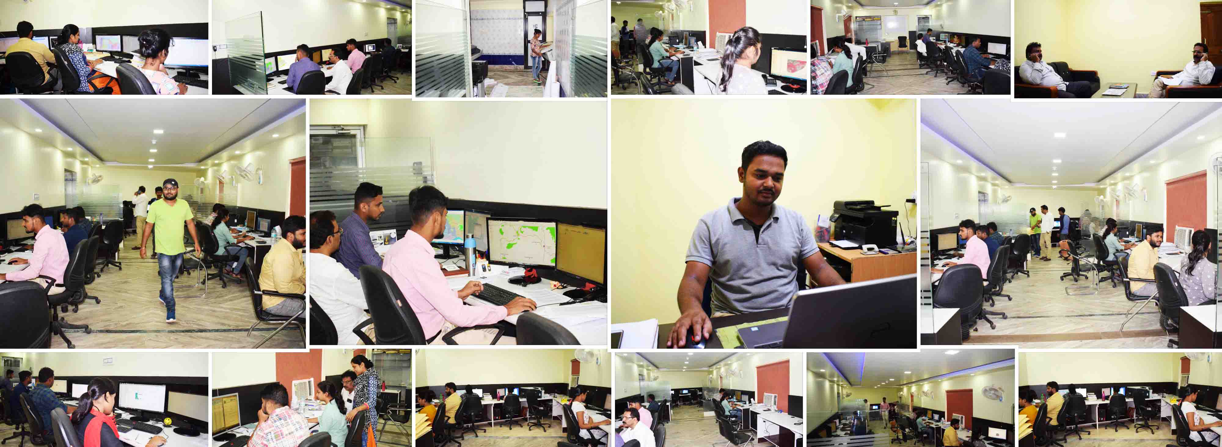
Digital Cartography and Services (DCS) is an ISO 9001-2015 certified organization and it is providing services in the field of Remote Sensing , Geographical Information System, Global Positioning System, CAD Design & Drawing and other various services. Since 2001, it is working in its own building located at Rasulgarh, Bhubaneswar, Orissa, India. Along with different services, it provides corporate training on Remote Sensing and GIS. Guidance of eminent techno crafts and experts, talents of young professionals from different disciplines, have put the glory of this organization both in national and international level.
News From DCS
Skills & Projects
Services from DCS
DCSPL is an Indian based GIS company that works with Government, Non Goverment and Private companies as their solutions partner . DCS offers high quality & cost effective GIS services & Utility Mapping Services for electricity, telecom, water & sewerage networks.
Remote Sensing services
DCS will take on the advantage of the Satellites or Aerial Remote Sensing (RS) technology in the improvement of the present systems of acquiring and generating the agricultural and the resources data.CAD / CAFM Services from DCS
DCS CAD services include large – scale 2D & 3D CAD drafting , simple paper to CAD conversion , raster to vector conversion for engineering drawings , architectural and facility drawings, contour maps for the clientsComputer & social science Services
DCS software development services includes all the programming services , customizing website application development & also the web site design services and also other website datas for further use.Featured Clients

































Our Clients Are Saying
– Mr. Satyajit Ganguly ,
Odisha Thermal Power Corporation Ltd.
-Tata Steel Private limited
-MD
– Shri Santosh Sharma , Chairman cum MD
Hindustan Copper Limited
– Mr. Sanjib Kumar Tripathy
Director , Odisha Coal and Power Limited
